26wdv29

3

E*» Ł<f Y<~ fr» b<-P

3
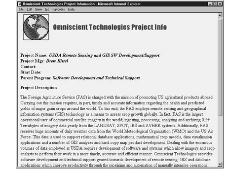
Pioject Nam o £/S/M Remou Senting and G IS S W D<rrAop mtnb Support Project Mj3 D/vw KittA Coutnct Suit Datę
Paient Pi o p .ixn Sojtvraro Dcrelopment and TtrchnicaJ Support Ploject Drv< njiriou
The Foretgn Agpcuhure Serr.ce (FAS) u charged wrii the mission of pcomotmg US agncuiura! proóscts abroad Carrymg ou: fos rottioo reąunci. m pici. fcme)y and accurate tnformahon regardng the health and prcd>cted yields of major gyain crops around Ac worfd To fos end. the FAS empSoys remote sensmg and geograpbcal E&cmanon fyitemi (GIS) techndogy ai a roeaw to aireii crop growth gSobaHy In fact. FAS u the largeit _ operationaS user of consnercul satelke imagery in thr worid. ógertmg. processr^g. analysng and archsvtng 0 5+ Terrabytei of magtry data yearty frorn the LANDSAT. SPOT. IRS ani AVHRR systems Ad&nonaly. FAS recerres h«ge amoonts of dady weather data &om the World Meteorlogpral Orgamra&on (WMO) and the US As Foce* Ihs data u used to wppott relanonal databaie appbcabons. mathematical crop modeli, data vuuifcrabon appb: anons and a number of GIS acalyses a&d bard copy map peoduct development Deahng wstfa the enorroous vota*s of dau cmpioyed at USDA reąrares deve5opment of toftware and syitemi wttch alow rnugery and crop anaJyiti to perform thex wocfc m a moce tonęły, accurate and ef&aent manner Ommicienl Technologies promdes toftware deveVopmenl and techrucal support geared towardt development ofremote te&fiog, GIS and databaie acob: anons wfcsch urorore oco&Ktntty tkrouoh the ng>rVnmg aod automanon of manualh? intcnswe o c* er anons li
Wyszukiwarka
Podobne podstrony:
26wdv28 Fj Omuionol Techmlogmi PiOftcl In/o • Miciosołl InietnH E cplotnRRE3Omniscient Technologies
f14 34 MFC ClassWizard Member Variables OLE Events Class Info Message Maps Project: OLE Automation C
f19 13 MFC ClassWizard Message Maps Project: Member Variables OLE Automation Class name: OLE Events
f2 33 Project Settings Resources OLE Types Browse Info Settings For: Browse info file name: W Build
f25 1 3 MessageMaps I Member Variables OLE Automation I OLE Events I Class Info I MFC ClassWizard Pr
f25 5 MFC ClassWizard MessageMaps
f26 16 MFC ClassWizard MessageMaps
Granty Europejskie FP5 Research and Technological Development ProjectCHEMAdvanced decision support s
16vcg31 MFC ClassWizard MessageMaps
26wdv27 Omniscient Technologies Employee InfoName: MarkSwank Title: WWW Consuitant Office: WDCT
HfflBaMaiia Name your project Project Name
delphi (2) Delphi 2.0 - Piojectl ■File Edit Search View Project Run Componerit Database To ols
więcej podobnych podstron