3970617755
Every method of mapping has its inconsequencies and defects. Klimaszewski distinguishes: forms of denudative origin, forms of fluvial origin, forms of suffosional origin, anthropogenic forms.
In such a classification there is an important piece of interpretation and with it, a piece of hypothesis. So does Klimaszewski^ key speak of ‘forms created by the destructive action of denudative factors’ under which are reckoned ‘fragments of older surfaces of planation’. Such plateaus can be remnants of raised peneplains, where river gravel may be found. This is, for example, the case in the Sarmato-Pontic peneplain in the frontier region between the Belgian Ardennes and Dutch South-Limburg which is typified by a deep yellow-red podsolic soil profile with
1

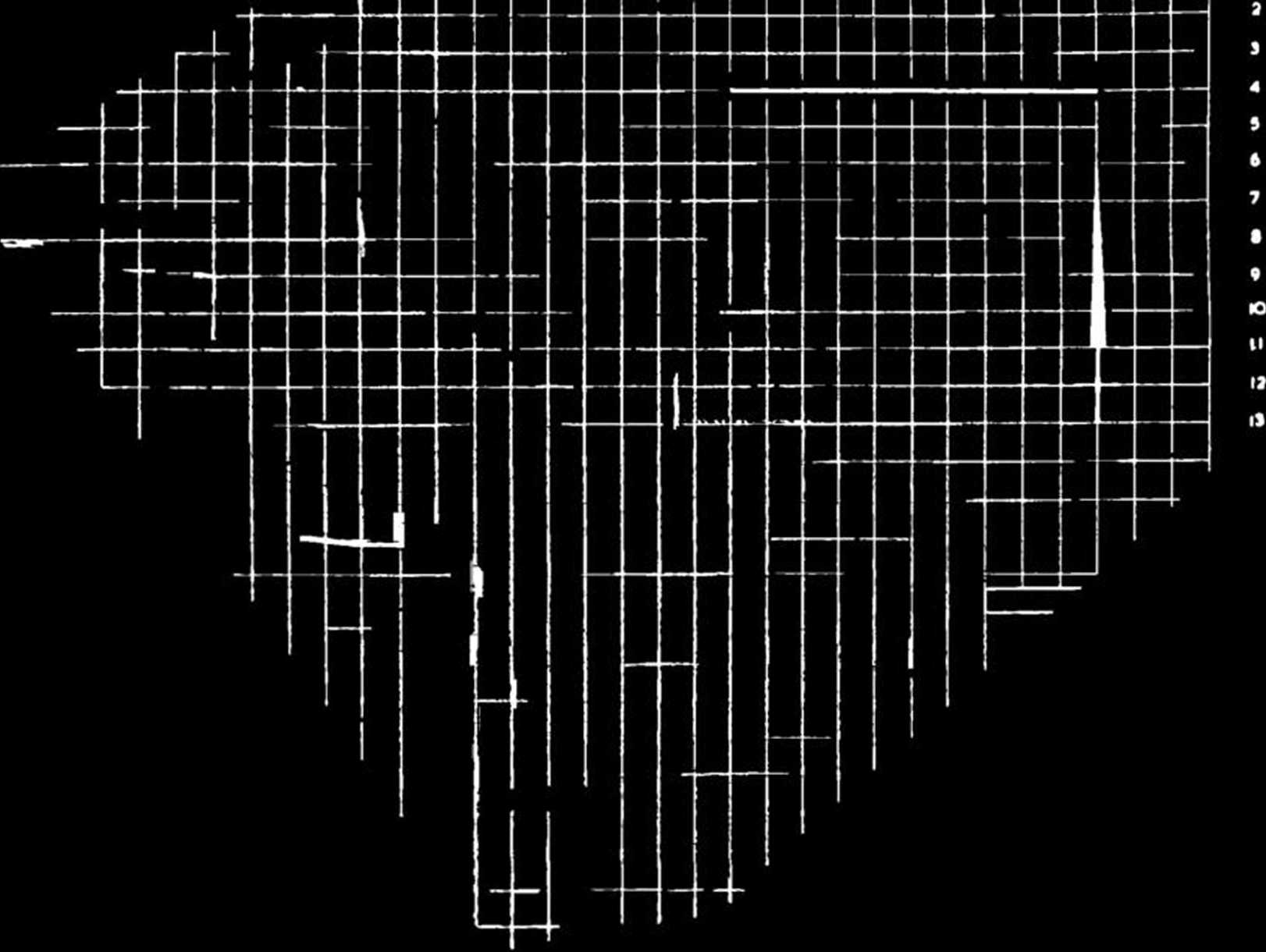
Fig. 1. The topographic basis of a part of Jungerius’ pedo-sedimentological map
of the Moutfort region in Luxemburg.
silicious oolitic pebbles on top. In such a case it is clearly shown that the plateau is not only a product of weathering processes, materiał transport (denuaative processes sensu stricto) but also of river erosion and there-fore, not only of denudative origin. It seems here desirable to remove the hypothetical element in the descriptions in the key somewhat, but this is naturally not impossible. In the text of the commentary, which should accompany every map, it is possible to discuss the interpretation and origins of certain forms morę fully. I will not go into further details.
And now, if I may go over to the ąuestion of International coopera-tion, I should like to put forward the following propositions:
1. The Polish geomorphological maps 1 : 50,000 of Klimaszewski and Galon are, beyond any doubt, of the best that we possess at present.
18
Wyszukiwarka
Podobne podstrony:
Con. 6058-MP-4468-11. 2 5. (a) An rnsulated rod of length / has its ends A and B maintained at 0°C a
Przestrzenie, miejsca, mapy Zwrot przestrzenny a badania literackie Every continent has its own grea
ART. L1V.—RESKARCHKS ON MM. VARRENTRAPP AND W1LŁ*8 METHOD OF ANALYS1S. By M. Reizet. M. Reizet has g
image017 LLOYD BIGGLE, JR. Every society has its own way ot finding a pumshment to tit a crime. no b
[ fic]?nedictus,?vid The Fourth of June SF1 with its totems and taboos, is a place for a boy wit
S5002141 tio house 187, in Part I. Tha stralght, 11.5 cm long segment of the fitting corresponds in
Ekonomia polityczna jako nauka i jako sztuka (2) John Neville Keynes (ojciec J. M. Keynesa)- The Sco
8ANALYSIS, TESTING JPRS-UMS-92-003 16 March 1992 the method of separation of variables and the compu
(„Theory, practice and methodology of fencing: chosen aspects”).- Katowice, Wyda
Audit as a method of control and quality management evaluation In the management system of enterpris
Effect Of Dividends On Stock Prices 12 4. Research Methodology This paper has used the Panel data ap
htdctmw 049 Now then, for those of you who’ve mastered the cubes and its cousins, and for
więcej podobnych podstron