image063
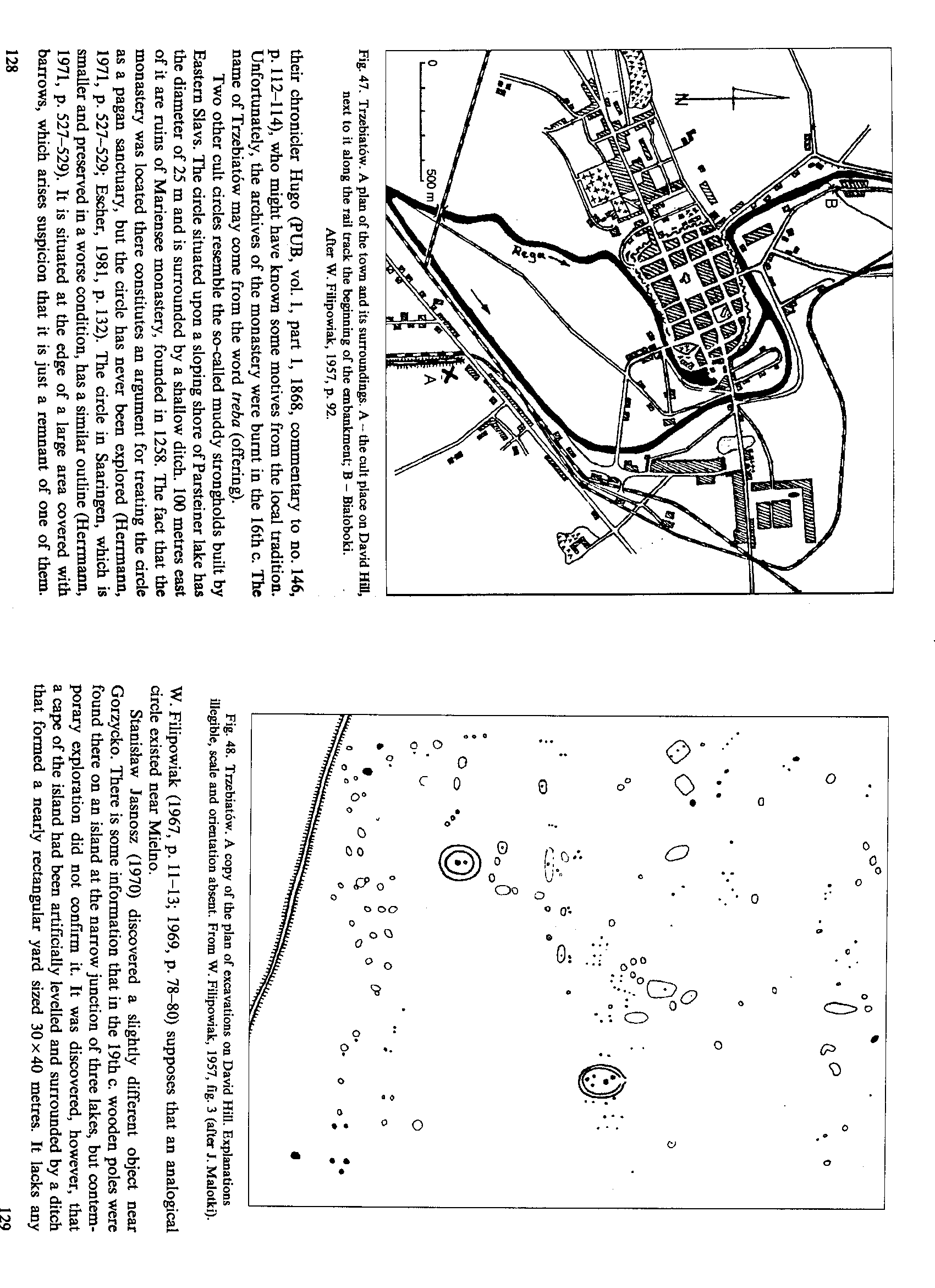
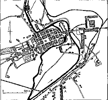
Fig. 47. Trzebiatów. A plan of the town and its surroundings. A - the cult place on David H31, next to it along the rai! track the beginning of the embankment; B - Białoboki.
Afler W. Filipowiak, 1957, p. 92.
their chronicler Hugo (PUB, vol. 1, part 1, 1868, commentary to no. 146, p. 112-114), who might have known some motives from the local tradition. Unfortunately, the archives of the monastery were bumt in the 16th c. The name of Trzebiatów may come from the word treba (offering).
Two other cult tircles resemble the so-called muddy strongholds built by Eastern Slavs. The drcle situated upon a sloping shore ofParsteiner lakę has the diameter of 25 m and is surrounded by a shallow ditch. 100 metres east of it are ruins of Mariensee monastery, founded in 1258. The fact that the monastery was located there constitutes an argument for treating the drcle as a pagan sanctuary, but the drcle has never been explored (Herrmann, 1971, p. 527—529; Escher, 1981, p. 132). The drcle in Saaringen, which is smaller and preserved in a worse condition, has a similar outline (Herrmann, 1971, p. 527-529). It is situated at the edge of a large area covered with barrows, which arises suspicion that it is just a remnant of one of them.
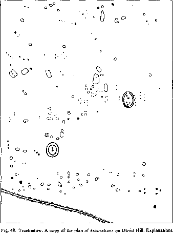
iliegible, scalę and orientation absent. From W. Filipowiak, 1957, fig. 3 (after J. Malotki).
W. Filipowiak (1967, p. 11-13; 1969, p. 78-80) supposes that an analogical drcle existed near Mielno.
Stanisław Jasnosz (1970) discovered a slightly different object near Gorzycko. There is some information that in the 19th c. wooden poles were found there on an island at the narrow junction of three lakes, but contem-porary exploration did not confirm it. It was discovered, however, that a cape of the island had been artificially levelled and surrounded by a ditch that formed a nearly rectangular yard sized 30x40 metres. It lacks any
129
Wyszukiwarka
Podobne podstrony:
image008 Fig. 4. Possible reconstructions of the tempie in Old Uppsala, drawings based cm: A.-C. Sch
image017 Fig. 10. The plan of the stronghold m Arcona reconstructed by H.Berlekamp and J.Herrmann. A
image049 1 m Fig. 26. The profile and plan of the remains of Ihe south-ea&tem wali base of the t
image078 Fig. 66. The sanctuary in Rzhavintse. Top: a plan of the stronghold with sounding excavatio
DSC07028 Ryc. 243. Słabe strony miejscowości (2007) Fig. 243. Weak sides of the village (2007) Hi Ry
DSC07028 Ryc. 243. Słabe strony miejscowości (2007) Fig. 243. Weak sides of the village (2007) Hi Ry
image018 Exterior septorum ordo Fig. 11. Niederle’s reconstruction of the tempie in Arcona based on
image023 Fig. 15. Korzenica-Garz. I, II, m - the alleged traces of temples in the stronghold; after
image045 Fig. 21. Wolgast - a plan from about 1760 (a siraplified copy). The stronghold and St Peter
Fig. 2. Grave 1 MC, plan at the ceiling level, the depth of 50 cm Ryc. 2. Grób 1 KM, plan na poziomi
288 Z. KORUBA ET AL. Fig. 4. (a) Time-dependent profile of the terrain unevenness (bump); (b) time-d
image001 J I •JUDITH-MERRIL was one of the pioneers in the feminin© invasion of science fiction
image002 ROGER ZELA2NY WAS ONE OF THE BRłGHTEST UGHTS IN SCIENCE FłCTION AND FANTASY...FANS OF HIS
image010 Every name is a guarantee of the best stories of their kind available.dsk for łhe
więcej podobnych podstron