1531834084
System Informacji Archeologicznej stanowiska Altdorf -Am Friedhof - ArcMap - ArcView - m
File Edit View Bookmarks Insert Selection Jools Window Help
r* LA ,11:389 _
I .
D K?
|
0 rf -I i- ą |
X- rr rr |
□ o | |
|
Georeferencing ▼ |
La>'er: |ob. 768 w. 767.tif | ||
|
-1 | |||
B
Buffer

statistical Analyst ▼
Layer: |ob. 768 w. 767.tif
Input Features
| Zabytki\zabytki wydzielone\XYwydzielone_
Output Feature Class
Distance [value or field]
^ Layers
0 0 Zabytki □ 0 Analizy □ 0 Buffory 0 □ polepa 0 □ ceramika 0 □ wydzielone 0 □ kości 0 0 Obiekty 0 □ Rastry 0 0 Altdorf _xl36 0 0 Altdorf_wykop
C: \Users \Julia \Pocuments \archeo ^AGR \GIS \ArcGIS \wektory punkty VXYwydzielone_Buffer. shp
Distance [value or field]
(* Linearunit
&
|
1 T |
[Meters |
▼ |
|
r Field | ||
|
1 3 | ||
|
SideType (optional) | ||
|
| FULL EndType (optional) |
3 | |
|
ROUND DissolveType (optional) |
3 | |
|
NONĘ |
3 | |
|
Dissolve Field(s) (optional) | ||
□ fid
□ numer
n warstwa
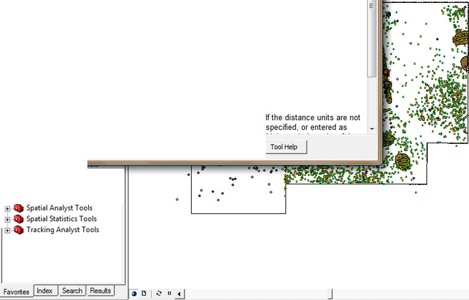
The distance used to create buffer zones around Input Features. Either a value or a numeric field can be used to provide buffer distances.
Display
Source Selection
Drawing ▼ ^ (°) # 0 ~ A ^ |® Arial

|10 jd B / U A_ ^ ■*
|
OK |
Cancel |
Environments... | |
<< Hide Help |
If a negative buffer distance is specified, the buffer offsets will be generated inside. instead of outside. of the input features. This is only valid for polygon feature classes.
Wyszukiwarka
Podobne podstrony:
stabilność podłoża bmp fi Ocena projektu obwodnicy - ArcMap - Arclnfo File Edit View Bookmarks Inser
5 (1719) <21 Aga - ArcMap - Arclnfo File Edit View Insert Selection Tools Window Help□ & y I
7 (1437) <21 Aga - ArcMap - Arclnfo File Edit View Insert Selection Tools Window Help□ & o i
4 (1928) ^ 1:7 843 XV C=ł Create Mew Feature B Layers B 0 dróżki 3 Aga - ArcMap - Arcinfo File Edit
3( ćwiczenia 1 - ArcMap File Edit View Bookmarks Insert □ t= u e x O 4 <*i ® m u __ * « * *
3 (2231) 653 £13 <31 Aga - ArcMap - Arclnfo M File Edit View Insert Selection
W rozdziale trzecim (praktycznym) opisany został proces tworzenia bazy Systemu Informacji Archeologi
jachimowski 2 Telewizja regionalna w regionalnym systemie informacji 111 stanowienie prawa chcą w ja
f15 4 ^Netscape - [Here I Am] UsTt File Edit View Go Bookmarks Options Directory Window
f3 10 000Microsoft Developer Studio File Edit View insert Build Jools Window HelpNew Project Informa
F30 8 □ Persistent Information Demo - Microsoft Internet Explorer H0D File Edit View Go Fąvorites He
17ddg03 □aa Microsoft Access - Northwind Traders Client-Server Order Entry System EU File Edit View
35vbu18 ^mmmmmm File ki Customer Information <nlxlans File Edit View Help Add Cui r I* Lookup Cus
35vbu20 matm File Edit View Help to Customer Information to Order information for Mulligan s Press P
wmaker Netscape: Linux - co i jak w systemie! - www.linux.sky.pl File Edit View Go Window Help 21
więcej podobnych podstron