6585844965
Canada
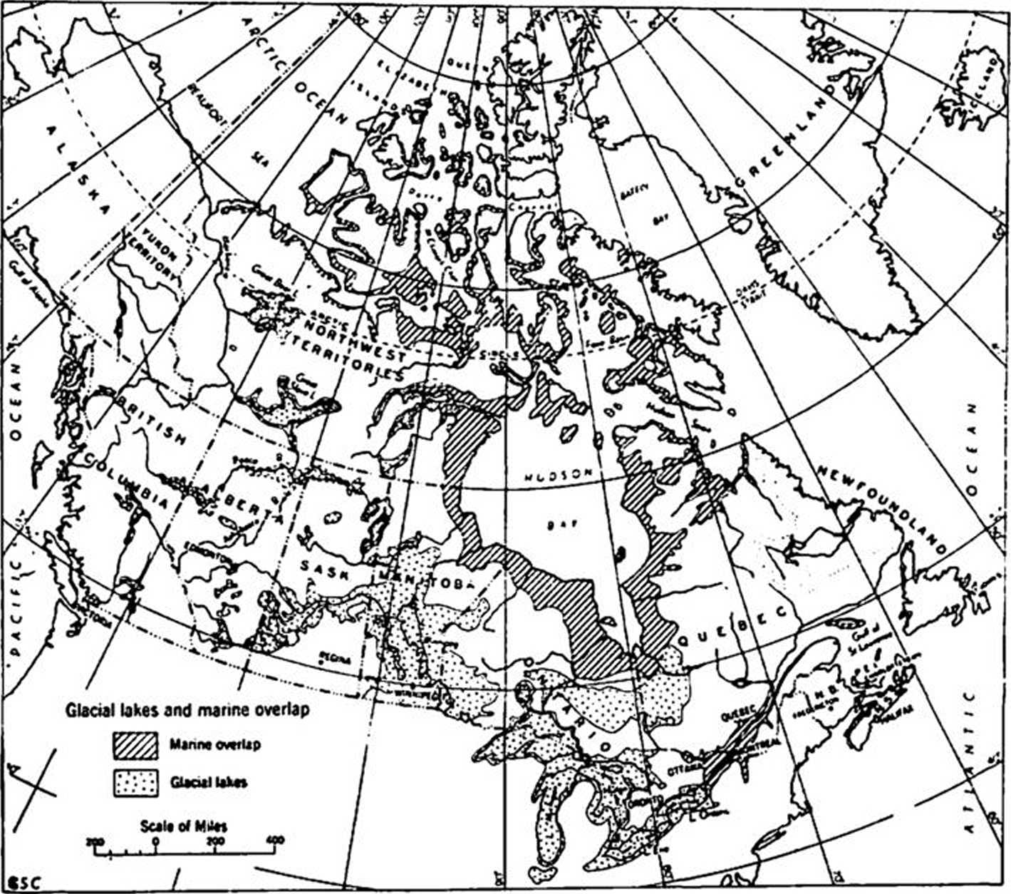
Fig. 2
Głacial lakes and marinę overlap (Prest 1961)
The one common soil formation found throughout Canada is glacial till. The standard penetra-tion test (S.P.T.) is used widely to evaluate the density State of the till, and also results in the recovery of samples suitable for classification purposes. Because of the variability of glacial till and frequent encounter with large stones or boulders, considerabie judgement is required in assessing the results of the S.P.T. Occasion-ally pockets of soft or loose till are encountered the S.P.T. has been useful in defining areas of "Iow blow" till.
Aside from the glacial till, the other soil de-posits in Canada have unique properties that have necessitated soil exploration methods that are tailored to particular requirements. Ex-amples of the types of practices used are re-ported frequently in dcscriptions of large pro-jects.
Review of Canadian Literaturę on Penetration Testing
The standard penetration test is commonly used in Canada and in generał follows the practice used in the U.S.A. The Boring and Sampling Committee of the Canadian Standards Associa-tion has prepared standard test procedures for the Standard Penetration Test and a Dynamie Cone Penetration Test (CSA 1960 and CSA 1962). Thcse are test procedures only and leave the interpretation of the test results to the designera Both methods are very similar to the procedures of the American Society for Testing and Materials. At present, there is no standard method for the use of the static cone test. When it is used, European, particularly Dutch, practice is followed.
For cohesioniess soils, the correlations of S.P.T. values with bearing capacity proposed by Meyerhof (1956 and 1959) are widely accepted.
In certain areas where the deposits of sand are extensive, local modifications of practice have been established. Tavenas et al (1970), Tavenas (1971) and Tavenas and Audy (1972) describe the application of penetration testing to a deposit of sand along the St. Charles River in the Ouebcc City region. Matich and Stermac (1971) illus-trate the usc of penetration tests in the investi-gations for the Burlington Bay Skyway structure which is founded on a sand bar at the mouth of Hamilton Harbour at the western end of Lakę Ontario.
Wyszukiwarka
Podobne podstrony:
8 (808) Fig. 1-1. Queen Charlotte and her daughter, painted by the eighteenth century artist Benjami
UHAM066 THE CAUSES OF HEADACHE AND MIGRAINE ^ U9 Two of the most common headache-causing foods are c
f Fig. 12 Lifting and carrying meat and boxes is frequent. Manuał lifting of 75 kg ocajrs and one ma
10 L. Starkel Fig. 3. Areas investigated and surveyed in the project MR 1 — 25: 1 — paleogeographic
skanuj0031 (32) 4.3. Turystyka ekologiczna (ekoturystyka) 133 tourism for Pondicherry. Ousteń &
125 Hydrological conseąuences of human action.. infiltration into soil and restrict overland flow. R
DSC06965 Ryc. 185. Mocne i słabe strony miejscowości (2007) Fig. 185. Strong and weak sides of the v
Tafel 4 B2/C1 Gruppe IV: Kramg proltlierte Fibeln. Hauptfundycbictc: Jur Fig. 07 0
APMS□ Marketing Function and Information Needs Fig. 3.1 Marketing Function and Information
Codc: BSD008 HYDRO AND MARINĘ CIYIL ENGINEERING Field of study: Civil Engineering Responsible
156 Piotr Włodarczak Fig. 4. Kolosy, county Kazimierza Wielka. Radiocarbon Dating of the graves 2 an
DSC06794 ACOWANIEM W LATACH JOOi 3007. Ryc. 20. Słabe i mocne strony miejscowości (2003) Fig. 20. St
DSC06803 Ryc. 31. Mocne i słabe strony miejscowości (2005) Fig. 31. Strong and weak sides of the vil
DSC06810 I Ryc. 37. Mocne i słabe strony miejscowości (2005) Fig. 37. Strong and weak sides of the v
DSC06843 Ryc. 67. Słabe i mocne strony miejscowości (2004) Fig. 67. Strong and weak sides of the vil
więcej podobnych podstron